Downtown is the city's Central City neighborhood, ZIP 35203, zoned for Phillips Academy, Wilkerson Middle and Parker High. ZIP value $315,376 in Sept. 2026.
Last checked Oct. 17, 2026. Sources: the City of Birmingham’s 23 communities and 99 neighborhoods list and neighborhood boundary files, its comprehensive plan (PDF) and parks list; Birmingham City Schools’ Find My Zone; the Alabama State Department of Education’s state report card for 2025; Zillow Research; MAX Transit’s schedule data; and OpenStreetMap.
Downtown Birmingham is, on the city’s own map, mostly the Central City neighborhood: about 650 acres between I-20/59 and the railroad tracks, from about 20th Street North east to Sloss Furnaces. It is one of five neighborhoods in the city’s Northside community and holds Linn Park, the Central Library and Sloss Furnaces. City Hall and the blocks to its west are in the Fountain Heights neighborhood, and the convention center is in Druid Hills. The city’s comprehensive plan notes that most Birmingham homes are single-family houses but that downtown housing is mostly “new and adaptive reuse buildings,” meaning lofts and apartments in new and converted buildings.
What this means for you
- Zoned high school: Parker High, 400 Rev. Abraham Woods Jr. Blvd. (2025 state report card: 66, a D).
- Home value: $315,376 in ZIP 35203 in September 2026, according to the Zillow Home Value Index.
- Nearest interstate exit: I-20/59 exit 126A (Carraway Boulevard, U.S. 31 and U.S. 280), on the area’s north side.
Part of our Birmingham neighborhoods guide.
Where it is
The city’s boundary file draws Central City between I-20/59 on the north and the railroad corridor on the south, with a western edge that runs along the Linn Park blocks near 20th Street North and an eastern edge just past Sloss Furnaces. The Red Mountain Expressway (U.S. 31 and U.S. 280) crosses the middle. Almost all of it is in ZIP code 35203; small edges fall in 35222, 35233 and 35234. The rest of what people call downtown, including Railroad Park and the area south of the tracks, is in the Five Points South neighborhood on the city’s map, covered in our Southside guide.
The city’s Long Range Planning Team is rezoning the Northside and Southside communities under the comprehensive plan; the proposed maps are on the city’s community rezoning plans page.
Schools
We checked 28 points spread across Central City in the district’s Find My Zone tool, and every one returned the same three schools. Scores are each school’s overall score on the 2025 state report card (the 2024-25 school year).
| Level | School | Address | 2025 score (grade) |
|---|---|---|---|
| Elementary | Phillips Academy | 2316 7th Ave. N. | 96 (A) |
| Middle | Wilkerson Middle | 116 11th Court W. | 63 (D) |
| High | Parker High | 400 Rev. Abraham Woods Jr. Blvd. | 66 (D) |
Phillips Academy teaches through eighth grade, but Find My Zone lists it as the zoned school for kindergarten to fifth grade here. Birmingham City Schools as a whole scored 77 (C). Check one address in Find My Zone or on the district’s zoning page. More in our schools guide.
Home values
The typical home value in ZIP code 35203 was $315,376 in September 2026, down 2.4% from $322,988 in September 2025, according to the Zillow Home Value Index. The index is a modeled typical value for the middle third of homes, not a sale price. The citywide figure was $134,165, also down 2.4%. The 35203 figure is more than twice the city’s. More in our home prices and property taxes guides.
Parks and trails
From the city’s parks list, with the acreage it gives:
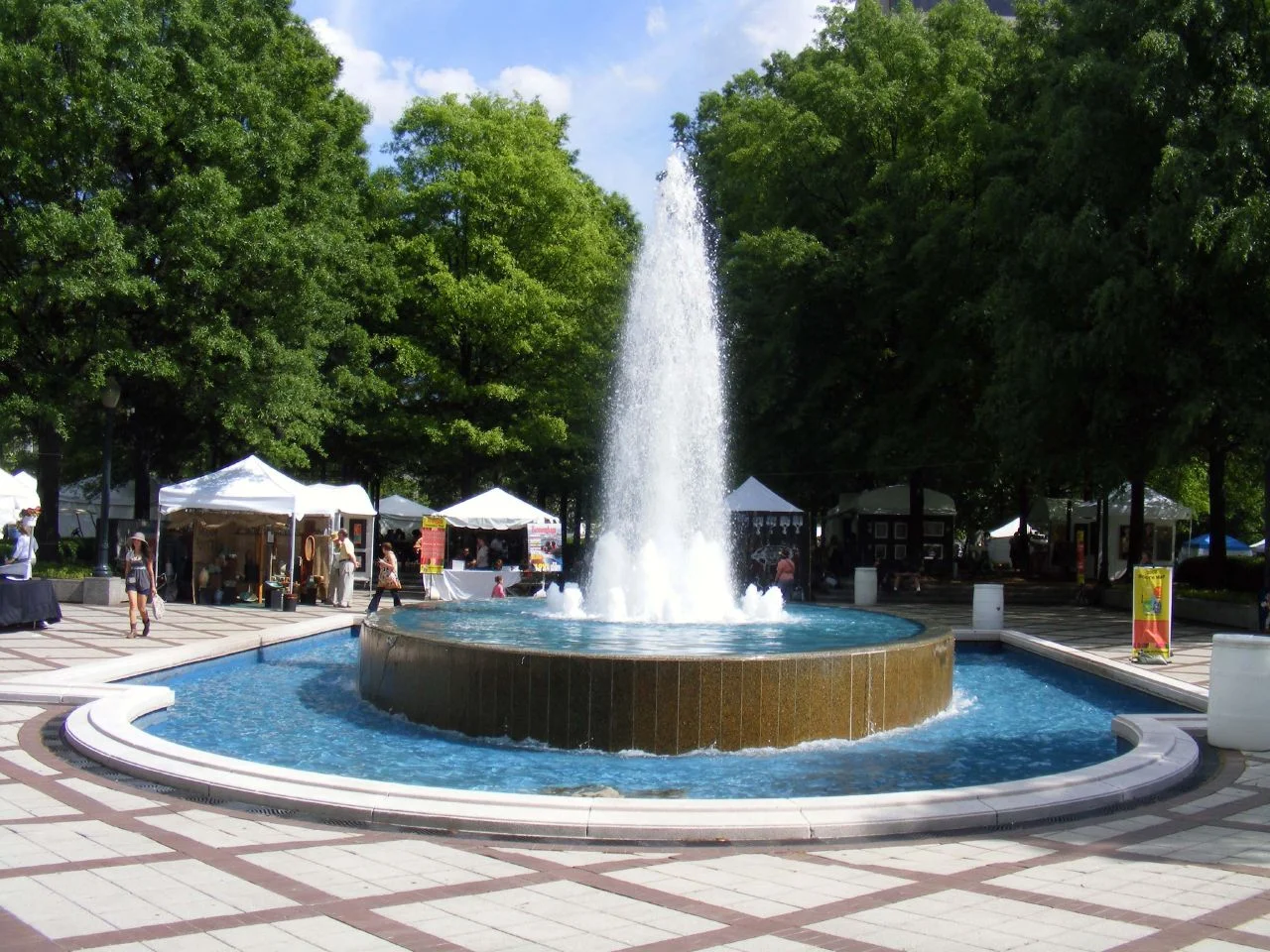
- Linn Park, 7.05 acres, the green beside the Central Library, with City Hall facing it from the west.
- Marconi Park, 3.71 acres, inside the neighborhood.
- Henley Park, mapped inside the neighborhood in OpenStreetMap.
- Rotary Trail, the trail along the old rail cut on the south edge, and Railroad Park just across the tracks.
Kelly Ingram Park (3.68 acres), in the Civil Rights District, is a few blocks west in the Fountain Heights neighborhood. More in our parks and trails and Civil Rights District guides.
Getting around
- Interstates: I-20/59 exit 126A (Carraway Boulevard, U.S. 31 and U.S. 280) and exit 126B (31st Street North) on the north side; I-65 exit 261A (17th Street North, Downtown) to the west. Exit names are from OpenStreetMap’s ramp signs.
- City Hall: about 0.7 mile by road from the middle of Central City to 710 20th St. N., just over the neighborhood line.
- Airport: about 5.3 miles by road to Birmingham-Shuttlesworth International Airport. Distances are measured on the OpenStreetMap road network with the OSRM routing engine; they are distances, not drive times.
- Buses: eight MAX Transit routes stop inside Central City in the schedule data valid through Oct. 28: the Magic City Connector (Route 90), 24 Collegeville/Fairmont, 22 Tarrant, 6 Pratt Ensley, 25 Centerpoint, 14 Idlewild Palisades, 31 Highway 31 South and 280 Highway 280.
More in our getting around guide.
Groceries and everyday stores
From OpenStreetMap, inside or within about half a mile:
- Publix, 230 20th St. S., just south of the railroad.
- Harbin Discount Pharmacy, downtown.
Neighborhood association
Central City elects its own neighborhood officers under the city’s Citizen Participation Program. The city’s Community Resource Services Division lists Willie Watson as the representative for the Northside community, 205-254-2066, on its staff page.
How we drew this area
The area is the Central City neighborhood polygon in the city’s open data boundary file, checked Oct. 17, 2026. School zones are from 28 sample points in the district’s Find My Zone tool; ZIP codes are from Census ZIP code areas. Place and store locations are © OpenStreetMap contributors.
Frequently asked questions
What neighborhood is downtown Birmingham in?
On the city’s neighborhood map, most of downtown north of the railroad is the Central City neighborhood, one of five neighborhoods in the Northside community. City Hall’s blocks are in Fountain Heights.
What schools is downtown Birmingham zoned for?
Every point we checked in Central City is zoned for Phillips Academy for the elementary grades, Wilkerson Middle and Parker High, according to Birmingham City Schools’ Find My Zone tool.
What is the typical home value in downtown Birmingham?
The Zillow Home Value Index for ZIP code 35203 was $315,376 in September 2026, down 2.4% in a year. It is a modeled typical value, not a sale price.
Is downtown Birmingham a good place to live?
Here are the facts. Central City covers about 650 acres around Linn Park, the Central Library and Sloss Furnaces, is zoned for Parker High (66 on the 2025 state report card) and is served by eight MAX bus routes; the typical home value in ZIP 35203 was $315,376 in September 2026, according to Zillow.
Have your say