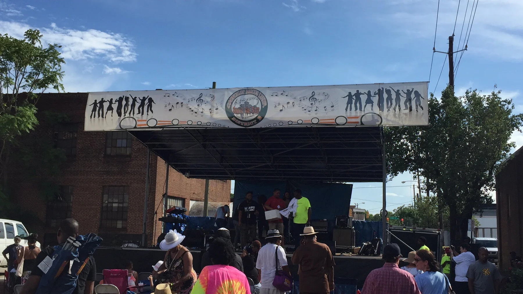
Ensley, about 1,030 acres in ZIP 35218, has Ensley Park, two branch libraries and Jackson-Olin High. ZIP value $71,332 in September 2026, per Zillow.
Last checked Oct. 17, 2026. Sources: the City of Birmingham’s 23 communities and 99 neighborhoods list and neighborhood boundary files, its comprehensive plan (PDF), parks list and recreation centers list; Birmingham City Schools’ Find My Zone; the Alabama State Department of Education’s state report card for 2025; Zillow Research; MAX Transit’s schedule data; and OpenStreetMap.
Ensley is one of six neighborhoods in the city’s Ensley community, with Dolomite, Oak Ridge, Sherman Heights, Tuxedo and Wylam. The neighborhood covers about 1,030 acres in west Birmingham. Ensley was its own town until 1910, when, the city’s comprehensive plan says, a major annexation added 70,000 people and 48 square miles to Birmingham, including Ensley. The plan says Ensley grew in the late 1800s as one of the city’s new working-class suburbs. It also proposes an “Urban Agriculture Innovation District” in Ensley, and the city’s Main Street program focused on Ensley, with Woodlawn, Avondale and East Lake, when the plan was written.
What this means for you
- Zoned high school: Jackson-Olin High, 1300 Avenue F, inside the neighborhood (2025 state report card: 60, a D).
- Home value: $71,332 in ZIP 35218 in September 2026, according to the Zillow Home Value Index.
- Nearest interstate exit: I-20/59 exit 119B (Avenue I), about 1.7 miles by road.
Part of our Birmingham neighborhoods guide.
Where it is
On the city’s boundary map Ensley has Central Pratt to the north, Bush Hills to the east, Ensley Highlands to the south and Sherman Heights to the west. Its streets include lettered avenues such as Avenue E and Avenue F. Almost all of it is in ZIP code 35218, with small edges in 35208 and 35224.
Schools
We checked 49 points spread across the neighborhood in the district’s Find My Zone tool, and every one returned the same three schools. Scores are each school’s overall score on the 2025 state report card (the 2024-25 school year).
| Level | School | Address | 2025 score (grade) |
|---|---|---|---|
| Elementary | Wylam Elementary | 701 Erie St. | 78 (C) |
| Middle | Bush Hills STEAM Academy | 901 16th St. W. | 70 (C) |
| High | Jackson-Olin High | 1300 Avenue F | 60 (D) |
Jackson-Olin High is inside the neighborhood; Wylam Elementary is in Wylam and Bush Hills STEAM Academy in Bush Hills. Birmingham City Schools as a whole scored 77 (C). Check one address in Find My Zone. More in our schools guide.
Home values
The typical home value in ZIP code 35218 was $71,332 in September 2026, down 1.5% from $72,439 in September 2025, according to the Zillow Home Value Index. The index is a modeled typical value for the middle third of homes, not a sale price. 35218 is larger than the neighborhood, so it is not an Ensley figure alone. The citywide figure was $134,165, down 2.4%. More in our home prices and property taxes guides.
Parks and trails
From the city’s parks list, with the acreage it gives:
- Ensley Park, 30.8 acres, inside the neighborhood. The city’s recreation centers list includes an Ensley center.
- McAlpine Park, 8.34 acres, inside the neighborhood. The city’s pools and recreation centers lists both include McAlpine.
- Tuxedo Park, 3.37 acres, inside the neighborhood.
- Erskine Hawkins Park, 1.19 acres, just outside the line in Tuxedo.
More in our parks and trails guide.
Getting around
- Interstates: I-20/59 exit 119B (Avenue I), about 1.7 miles by road from the middle of the neighborhood, and exit 120 (20th Street and Ensley Avenue, Alabama 269), about 2 miles. Exit names are from OpenStreetMap’s ramp signs.
- City Hall: about 5.4 miles by road.
- Airport: about 10.7 miles by road to Birmingham-Shuttlesworth International Airport. Distances are measured on the OpenStreetMap road network with the OSRM routing engine; they are distances, not drive times.
- Buses: MAX Transit Route 5 Ensley Wylam Fairfield has 14 stops inside the neighborhood and Route 6 Pratt Ensley has nine, in the schedule data valid through Oct. 28.
More in our getting around guide.
Groceries and everyday stores
From OpenStreetMap:
- Marino’s Market, 2415 Avenue E, inside the neighborhood.
- CVS Pharmacy, 2228 Bessemer Road, and Walgreens, 3209 Ensley 5 Points West Ave., each about a mile from the neighborhood line.
The Ensley Branch Library (1201 25th St.) and the East Ensley Branch Library (900 14th St.) are both inside the neighborhood.
Neighborhood association
Ensley elects its own neighborhood officers under the city’s Citizen Participation Program. The city’s Community Resource Services Division lists Herman Lumzy Jr. as the representative for the Ensley community, 205-297-8244, on its staff page.
How we drew this area
The area is the Ensley neighborhood polygon in the city’s open data boundary file, checked Oct. 17, 2026. School zones are from 49 sample points in the district’s Find My Zone tool; ZIP codes are from Census ZIP code areas. Place and store locations are © OpenStreetMap contributors.
Frequently asked questions
What schools is Ensley in Birmingham zoned for?
Wylam Elementary, Bush Hills STEAM Academy for sixth to eighth grade and Jackson-Olin High, at all 49 points we checked in the district’s Find My Zone tool. They scored 78, 70 and 60 on the 2025 state report card.
When did Ensley become part of Birmingham?
In 1910. The city’s comprehensive plan says a major annexation that year added 70,000 people and 48 square miles to Birmingham, including the towns of East Birmingham, North Birmingham, Thomas and Ensley.
What is the typical home value in Ensley?
Almost all of Ensley is in ZIP code 35218, where the Zillow Home Value Index was $71,332 in September 2026, down 1.5% in a year.
Is Ensley a good place to live?
Here are the facts. Ensley is a 1,030-acre neighborhood with the 30.8-acre Ensley Park, two branch libraries, its own high school and two MAX routes, zoned for Jackson-Olin High (60 on the 2025 state report card); the typical home value in ZIP 35218 was $71,332 in September 2026, according to Zillow.
Have your say